Solutions for Ground Risk Monitoring
SatLens provides focused monitoring solutions to detect ground movement, surface change, and infrastructure risk using satellite-based analytics.
Designed for infrastructure, engineering, and environmental applications.
Built for Real-World Monitoring
Our solutions are designed to detect subtle changes in terrain and infrastructure over time. From large-area screening to targeted monitoring, SatLens helps organizations identify risk early and act with confidence.

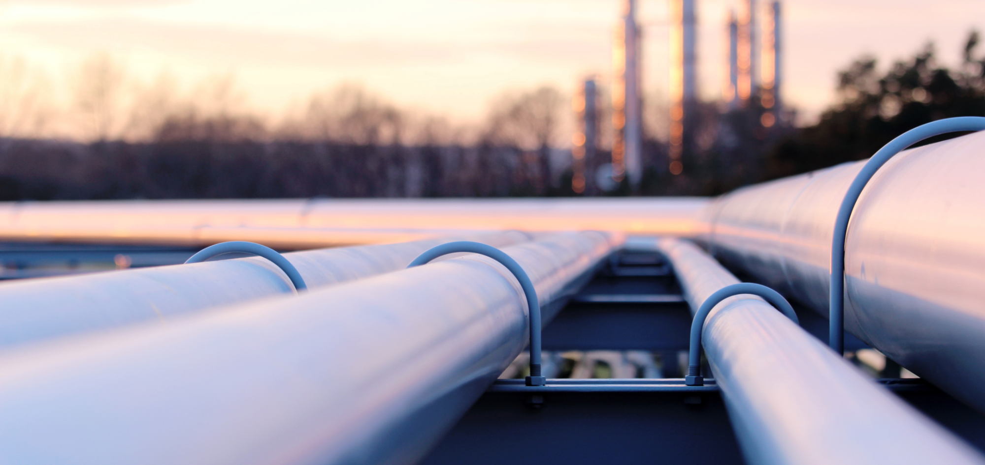
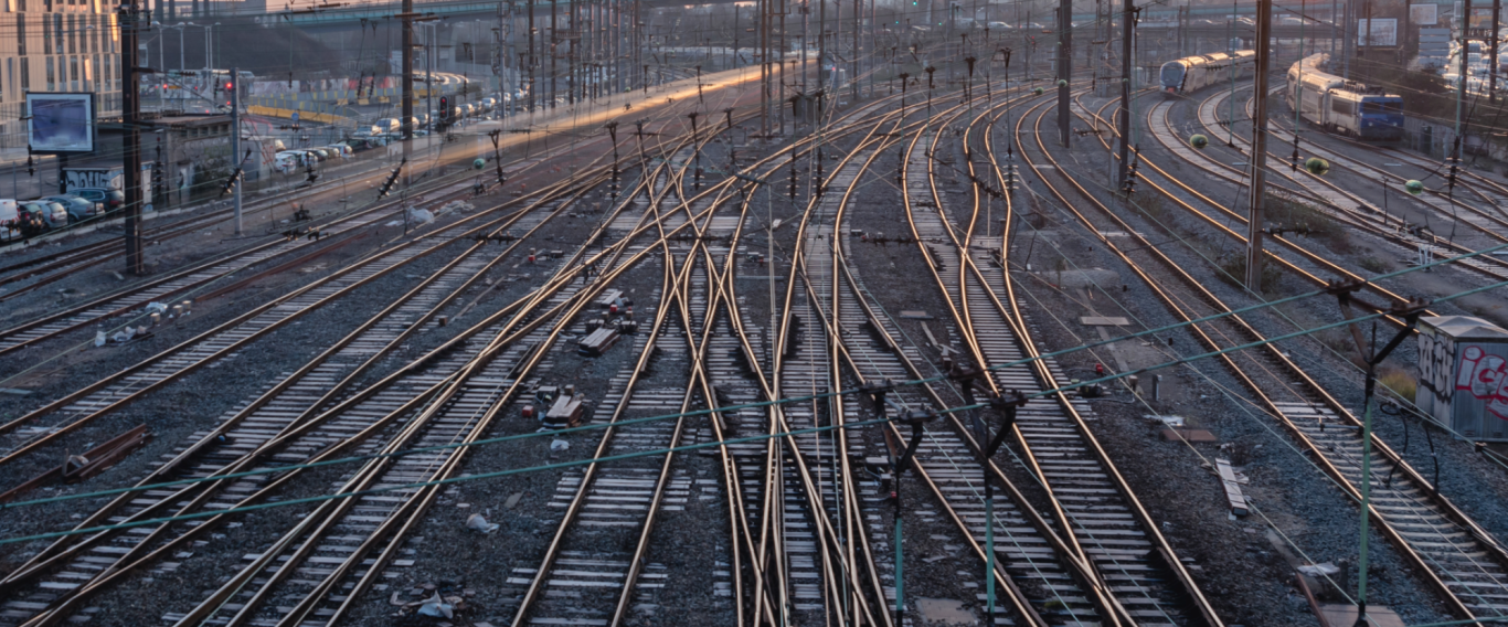
Infrastructure Corridor Monitoring
Monitor railways, pipelines, and utility corridors for early signs of ground movement and surface instability.
SatLens enables continuous monitoring of linear infrastructure to detect subtle terrain changes before they become operational risks.
Ground Risk Screening
Identify early-stage deformation and instability across large geographic areas.
Our large-area screening capabilities help detect zones of potential concern, allowing teams to prioritize inspection and reduce uncertainty.
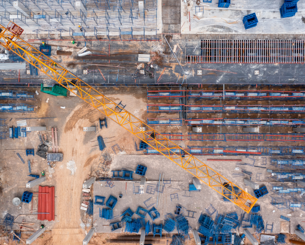
Construction & Site Monitoring
Track terrain and surface changes around active construction, excavation, and development sites.
SatLens helps monitor how land evolves over time, supporting better decision-making during planning and execution phases.
Environmental Surface Analysis
Detect unusual land and vegetation changes linked to disturbance, erosion, or environmental stress.
Gain insight into surface dynamics across large areas to support environmental monitoring and risk assessment.
01
Data Acquisition
Satellite data is collected over your area of interest.
02
Signal Analysis
Advanced analytics detect deformation patterns and anomalies.
03
Risk Identification
Potential risk zones are identified and prioritized.
04
Actionable Output
Results are delivered as maps, insights, or integration-ready data.