Satellite
Intelligence for Ground Risk Detection
We help infrastructure, engineering, and environmental teams detect land movement and surface change using satellite-based analytics.
From early risk screening to large-area monitoring, we turn geospatial data into clear, actionable insight.


WHAT WE DO
SatLens transforms satellite-based Earth observation data into actionable intelligence for ground risk detection and monitoring.
We analyze subtle surface changes over time to identify deformation, instability, and unusual terrain activity across infrastructure and large areas.
Our goal is to make complex geospatial data simple, clear, and decision-ready.
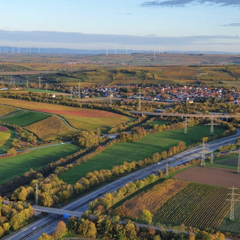
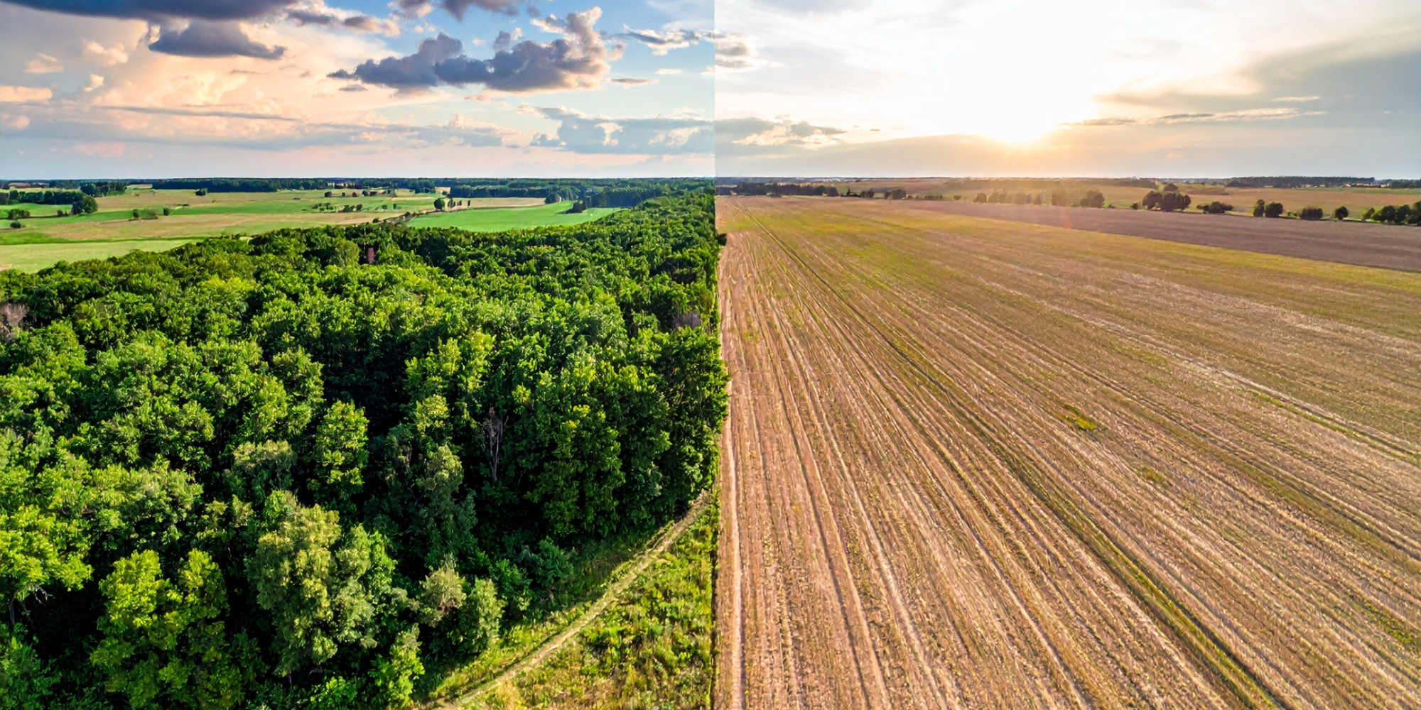
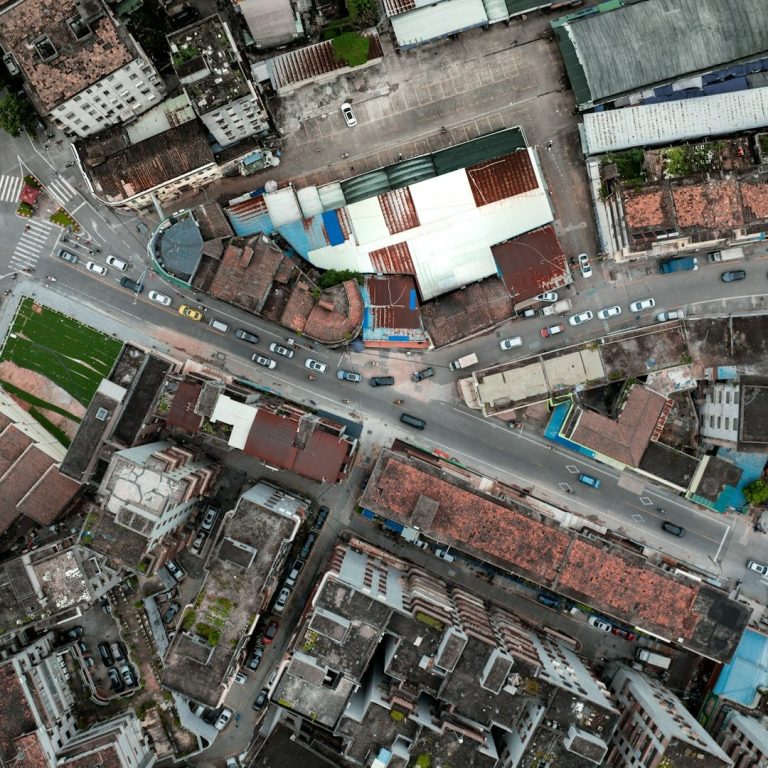
Monitor land and surface changes across municipal areas to support planning, site awareness, and early detection of unusual developments.
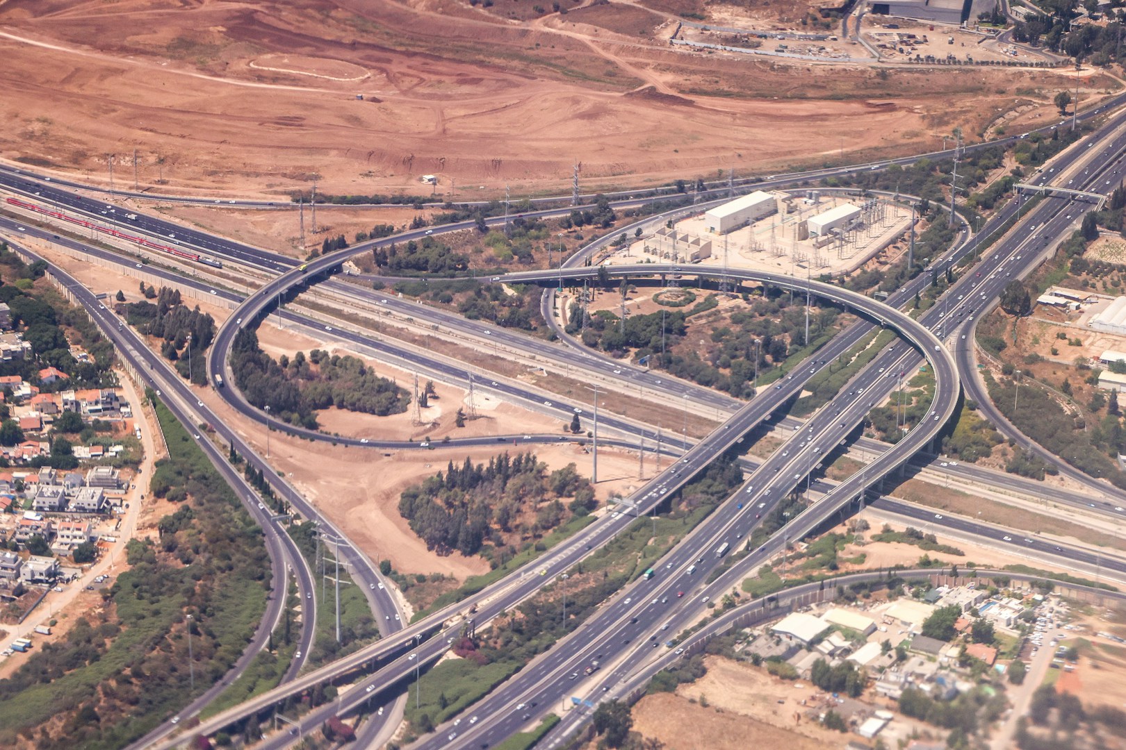
Track terrain and surface changes around active construction, excavation, and development sites.
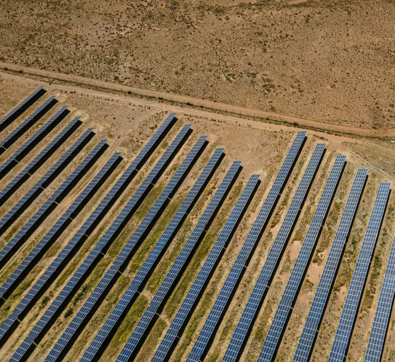
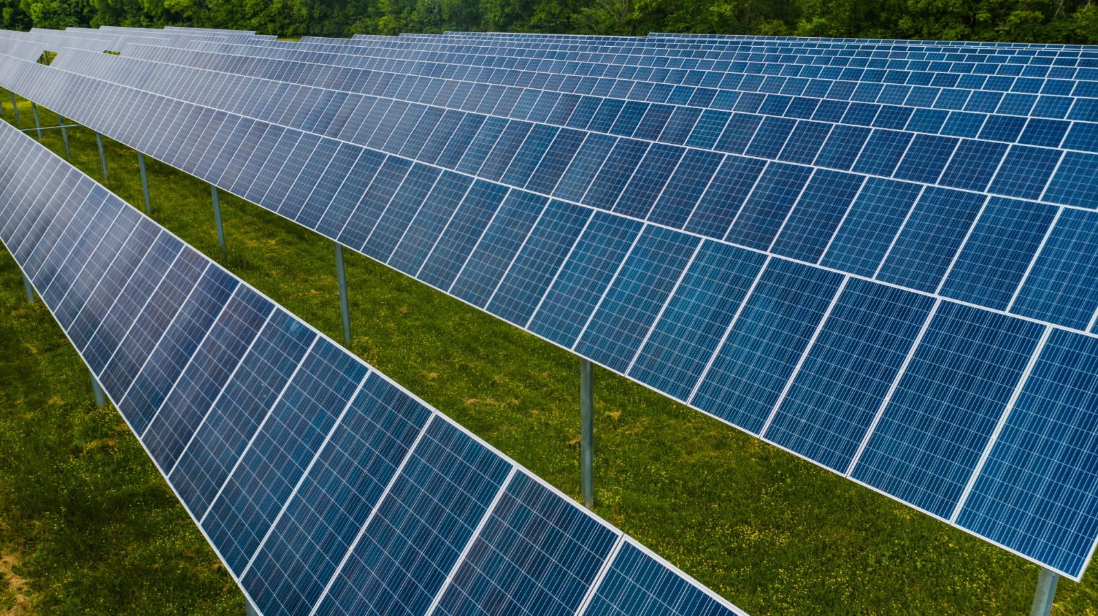
Monitor terrain, vegetation, and surface changes around utility-scale solar parks over time.
Contact
E-Mail: info@satlens.eu
Egerländer Str. 61,
65779 Kelkheim