About SatLens
Our Mission
Our mission is to make subtle ground and surface changes visible, understandable, and actionable.
SatLens helps organizations move from reactive inspection to proactive monitoring using satellite-based analytics.
Why SatLens
We focus on turning complex satellite signals into clear, decision-ready insights.
Instead of raw data, we deliver prioritized risk detection that helps teams identify where attention is needed most.
Our System provides:
- Early detection of subtle ground movement
- Scalable monitoring across large areas
- Clear prioritization of risk zones
- Designed for real-world infrastructure use

FOUNDER
SatLens is built at the intersection of geospatial analytics, data science, and real-world infrastructure monitoring.
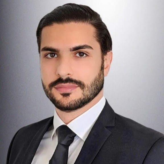
Dr. Ashkan Taremi Zadeh
Data & AI Engineer | Data Scientist | Lecturer / Dozent
SatLens was founded by Dr. Ashkan Taremi Zadeh, a data and AI engineer with extensive experience in building data-driven solutions for industrial and analytical applications.
He holds a PhD in Physics with a specialization in optics, with research focused on radar data and signal processing. His background combines deep technical expertise in data engineering, machine learning, and geospatial signal interpretation with practical industry experience across real-world business and technology environments.
With SatLens, he brings together scientific rigor, engineering execution, and applied analytics to build practical monitoring solutions for ground risk and surface change detection.

Start Monitoring What Matters
Get in touch to explore how SatLens can support your monitoring needs.